Richard Urquhart Goode
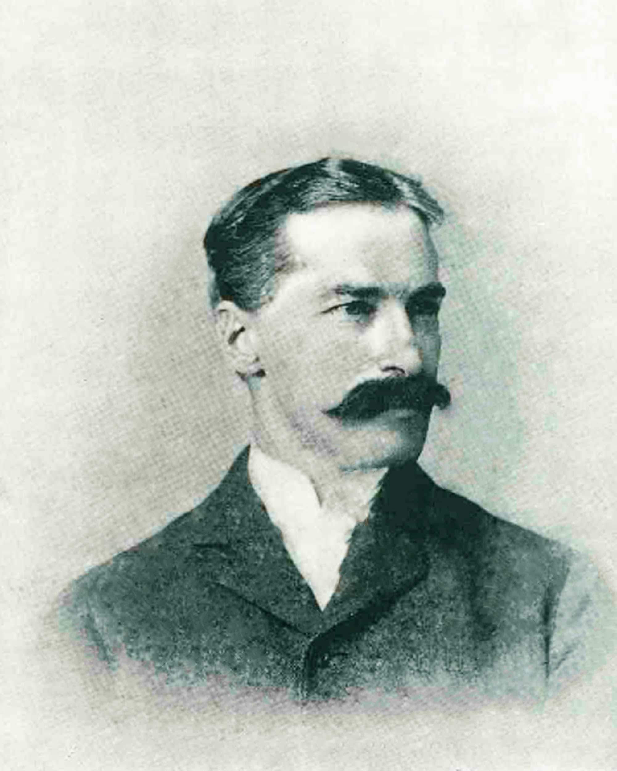 Richard Urquhart Goode (December 8, 1858 – June 9, 1903) was an American geographer and topographer with the United States Geological Survey (USGS) Northern Transcontinental Railroad Survey, and the Panama Canal Company. Goode was in charge of the Western Division of the USGS. which included all lands west of the Mississippi River, and worked on the boundary between the United States and Canada.
Goode was one of the first employees of the newly created USGS in 1879. As a USGS topographer, he conducted geographic surveys of unmapped areas of the United States, resulting in what are now called USGS Topographic Maps. Goode is credited with the triangulation for more than 100 topographic maps; the data that he collected is still in use on current USGS maps. In 1894, Goode was placed in charge of the USGS Pacific Section and became head of the Western Division in June 1903.
Goode temporarily left the USGS to work on two nationally important projects. From 1882 to 1884, he was a topographer for the Northern Transcontinental Railroad Survey in Montana and Washington. In 1888, Goode was an engineer and astronomer for the Panama Canal Company, conducting topographic surveys that addressed property rights on the Isthmus of Darian (now called the Isthmus of Panama).
Goode was a member of the National Geographic Society and wrote several articles for ''National Geographic''. He is the namesake of Mount Goode in Alaska, Goode Glacier in Washington, Mount Goode in Kings Canyon National Park of California, and Goode Mountain in North Cascades National Park. Provided by Wikipedia
-
1
The geography and geology of Alaska : a summary of existing knowledge /
Published 1906CONNECT
Government Document Electronic eBook

